
In the evolving digital world, geocoding APIs have become a pivotal element in numerous applications, ranging from logistics and real estate to social media and marketing. These APIs provide crucial geographical data that can help businesses make informed decisions, create efficient strategies, and offer enhanced services to their customers. However, not all geocoding APIs are created equal. This article will delve into the essential features of a robust geocoding API, discussing aspects such as rate limits and scalability, data accuracy and source reliability, security and encryption features, and extensive documentation and community support.
Rate Limits and Scalability
When evaluating api geocoding, one of the first factors to consider is its rate limit and scalability. The rate limit refers to the maximum number of requests that an API can handle in a given period, typically measured in requests per second or per minute. A high rate limit is essential for applications that need to process a large number of requests simultaneously.
Scalability, on the other hand, refers to the API’s capacity to handle growing amounts of work. A scalable API can accommodate an increase in usage without compromising performance. It can efficiently manage traffic spikes and support the growth of the application. A good geocoding API should offer flexible scalability options, allowing developers to scale their applications as needed.
Furthermore, the API should have robust load balancing and failover mechanisms. These features ensure that the API continues to function efficiently even when a large number of requests are made simultaneously. They also ensure that the API remains operational in the event of a server failure, thus providing uninterrupted service to the users.
Data Accuracy and Source Reliability
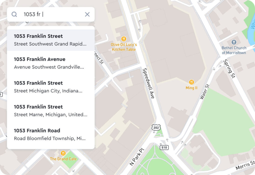
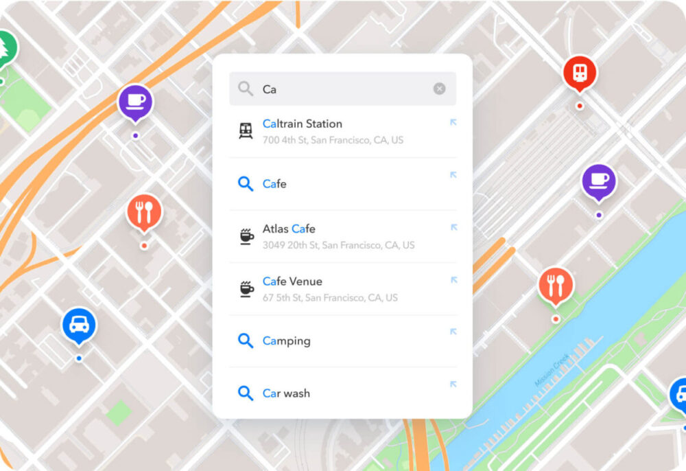
The value of a geocoding API lies in the accuracy of its data. Therefore, data accuracy is a critical factor to consider when choosing a geocoding API. The API should be capable of providing precise geographical coordinates for a given location. It should also offer reverse geocoding capabilities, i.e., the ability to convert geographical coordinates into understandable addresses.
The reliability of the data source is another factor that affects the accuracy of the geocoded data. The data source should be reputable and regularly updated to ensure that the API provides the most accurate and current geographical information. The API should also offer a comprehensive coverage of the geographical area of interest. It should include detailed information about all types of geographical features, such as streets, buildings, parks, and water bodies.
Moreover, the API should provide additional geographical data, such as the time zone, political boundaries, and demographic information. This information can be crucial for businesses that need to analyze geographical data for marketing, planning, or decision-making purposes.
Security and Encryption Features
Security should be a top priority when choosing a geocoding API. The API should have robust security measures in place to protect the data it handles. These measures may include encryption, secure access controls, and rigorous authentication protocols.
Encryption is a crucial security feature for any API. It protects the data transmitted between the application and the API server. The geocoding API should use strong encryption algorithms, such as AES or RSA, to secure the data. It should also support HTTPS, a secure protocol that encrypts the data transmitted over the internet.
Access controls are another essential security feature. They prevent unauthorized access to the API and restrict the actions that each user can perform. The API should offer fine-grained access controls that allow developers to set permissions for each user or role.
Authentication is the process of verifying the identity of a user or a system. A robust geocoding API should use strong authentication protocols, such as OAuth or JWT, to ensure that only authorized users can access the API.
Extensive Documentation and Community Support
A good geocoding API should provide comprehensive documentation that explains how to use the API, its features, and its limitations. The documentation should be easy to understand, well-organized, and regularly updated. It should include code samples, tutorials, and FAQs to help developers get started with the API quickly.
Community support is another crucial factor to consider. A strong community can provide valuable help and insights to developers. The API provider should offer various channels for community support, such as forums, discussion groups, and social media platforms.
Moreover, the API provider should offer reliable customer support. They should have a team of knowledgeable support staff who can assist developers in resolving issues and answer their queries. The support team should be easily reachable through various means, such as email, phone, or live chat.
In conclusion, a robust geocoding API should offer high rate limits and scalability, provide accurate and reliable data, have strong security and encryption features, and offer extensive documentation and community support. By considering these factors, developers can choose the right geocoding API that meets their application’s needs and ensures its success in the long run.


